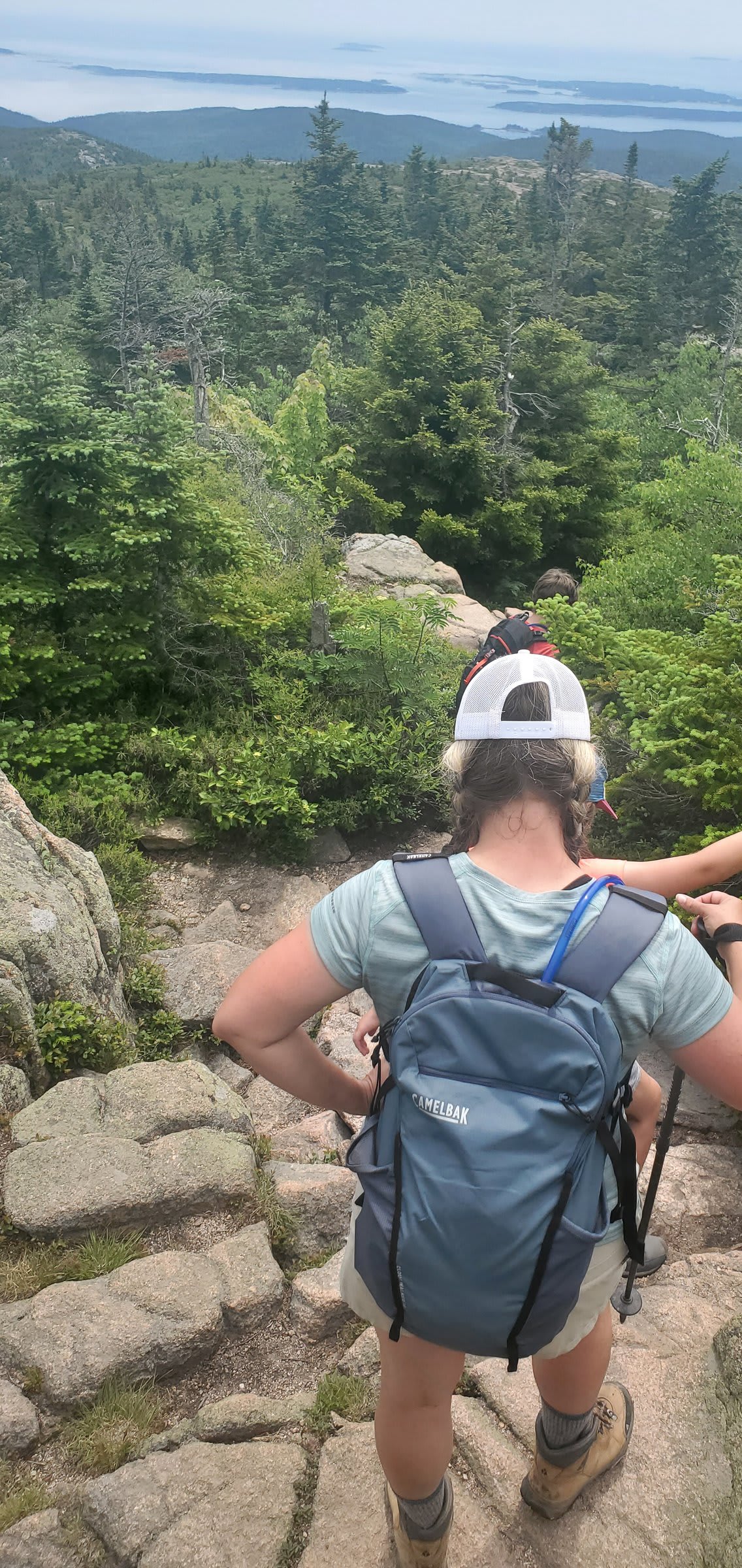
By day seven of our trip, we’d already packed in two completely different experiences. But this next adventure? This one was going to be something else entirely.
The AMC Hut System: Backcountry Bougie
Let me introduce you to one of the best-kept secrets of the White Mountains: the Appalachian Mountain Club’s hut system. Scattered throughout the Presidential Range, ten huts sit between 5 and 13 miles apart, offering what I can only describe as “bougie backcountry” — hot meals, warm beds, and the kind of hospitality you don’t expect to find above treeline.
The concept is brilliantly simple: hike hut to hut carrying only your sleeping bag and clothes. No stove, no dehydrated meals, no tent. Just you and the trail. Of course, this luxury comes at a premium, but after days of trail life, the promise of a hot breakfast and dinner felt like pure magic.
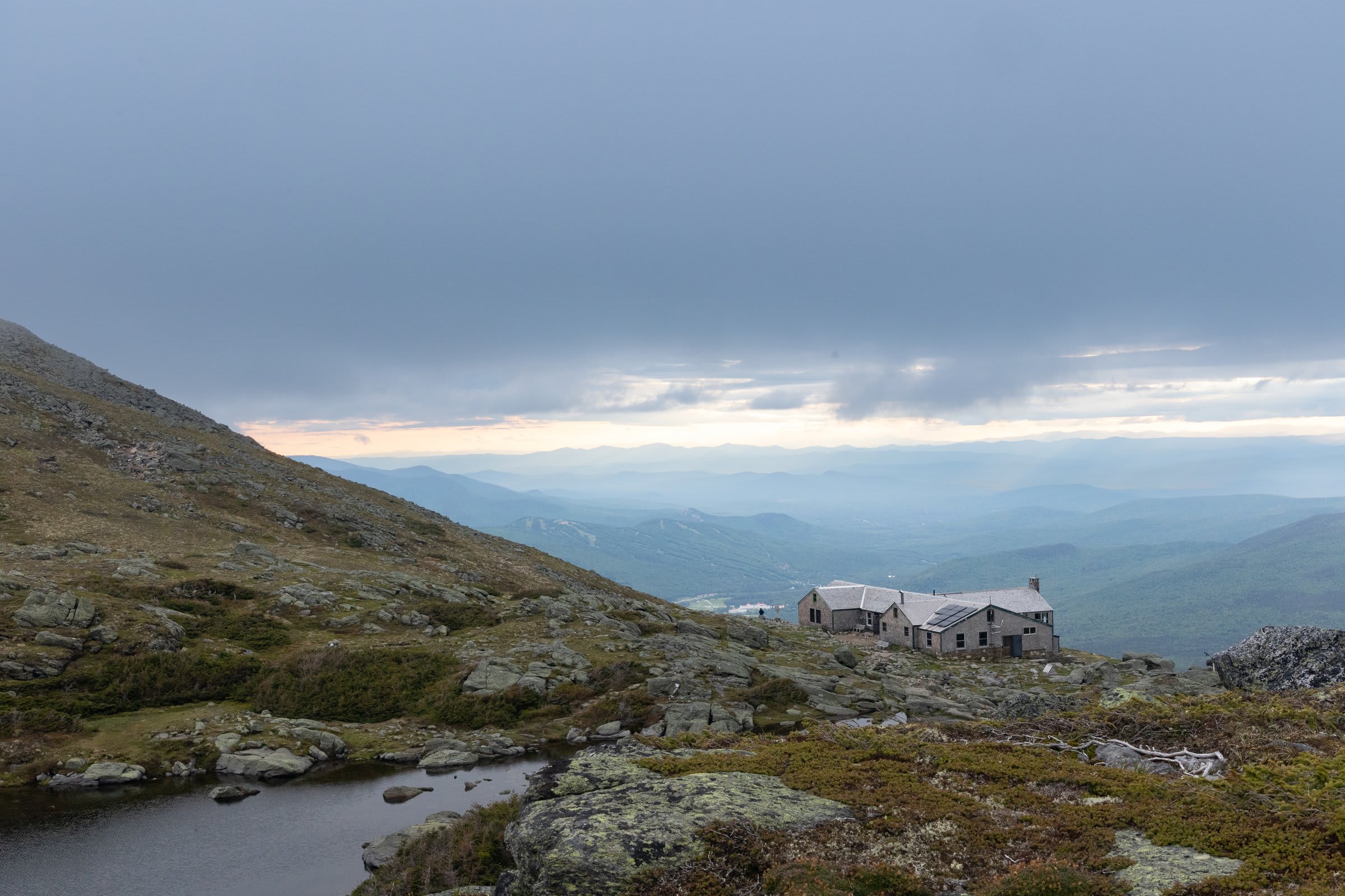
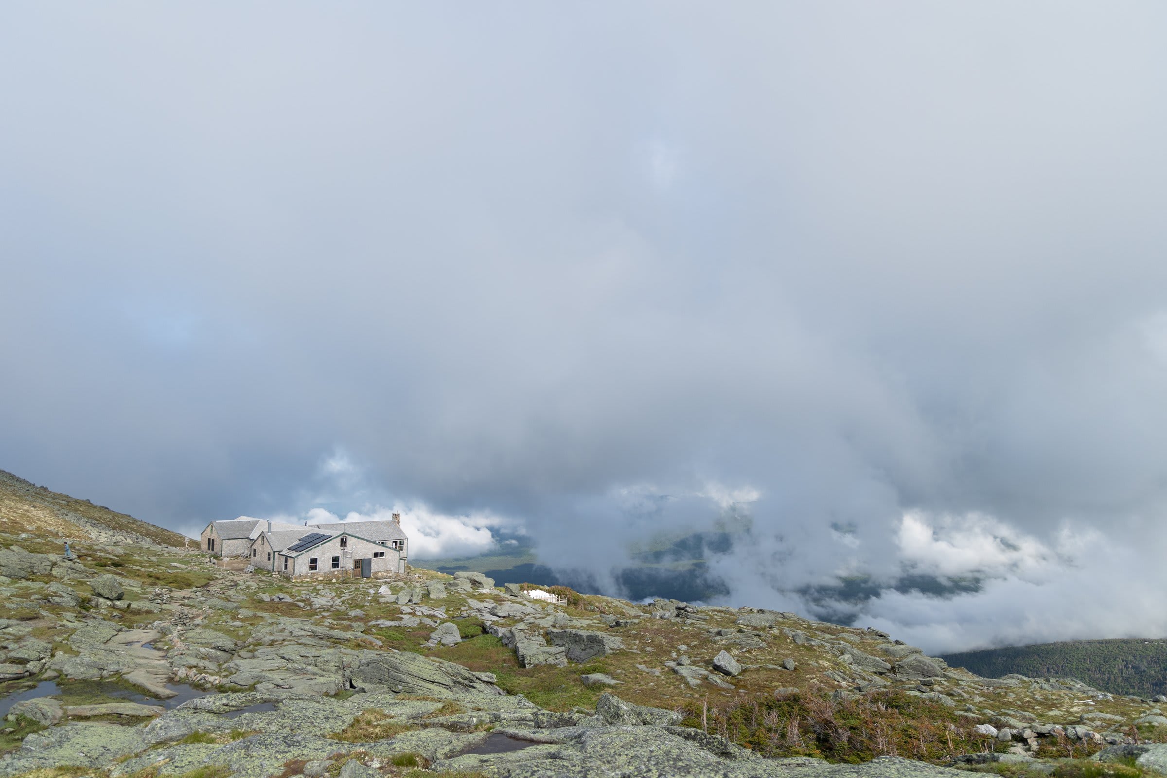
Our destination was Lakes of the Clouds, perched at 5,012 feet — the highest and largest hut in the system. Pro tip: book ahead. Seriously. While they do save a few spots for last-minute arrivals, you don’t want to gamble with your alpine accommodation. You can choose between the communal bunkhouse or splurge on a smaller private room.
The Ascent: Jewell Trail to Crawford Path
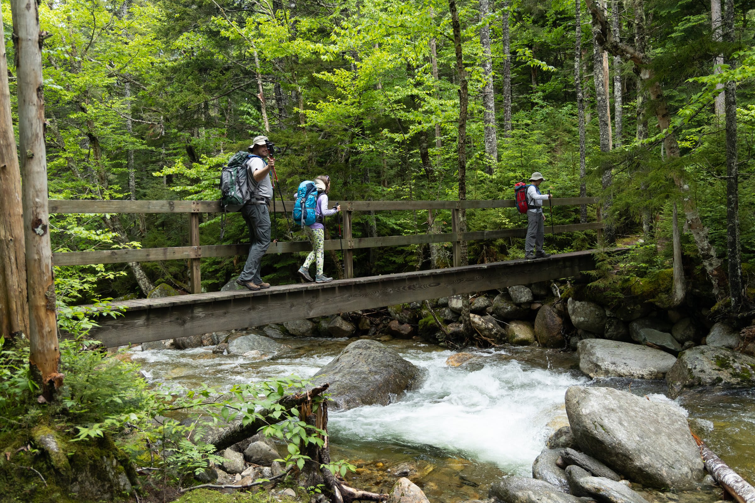
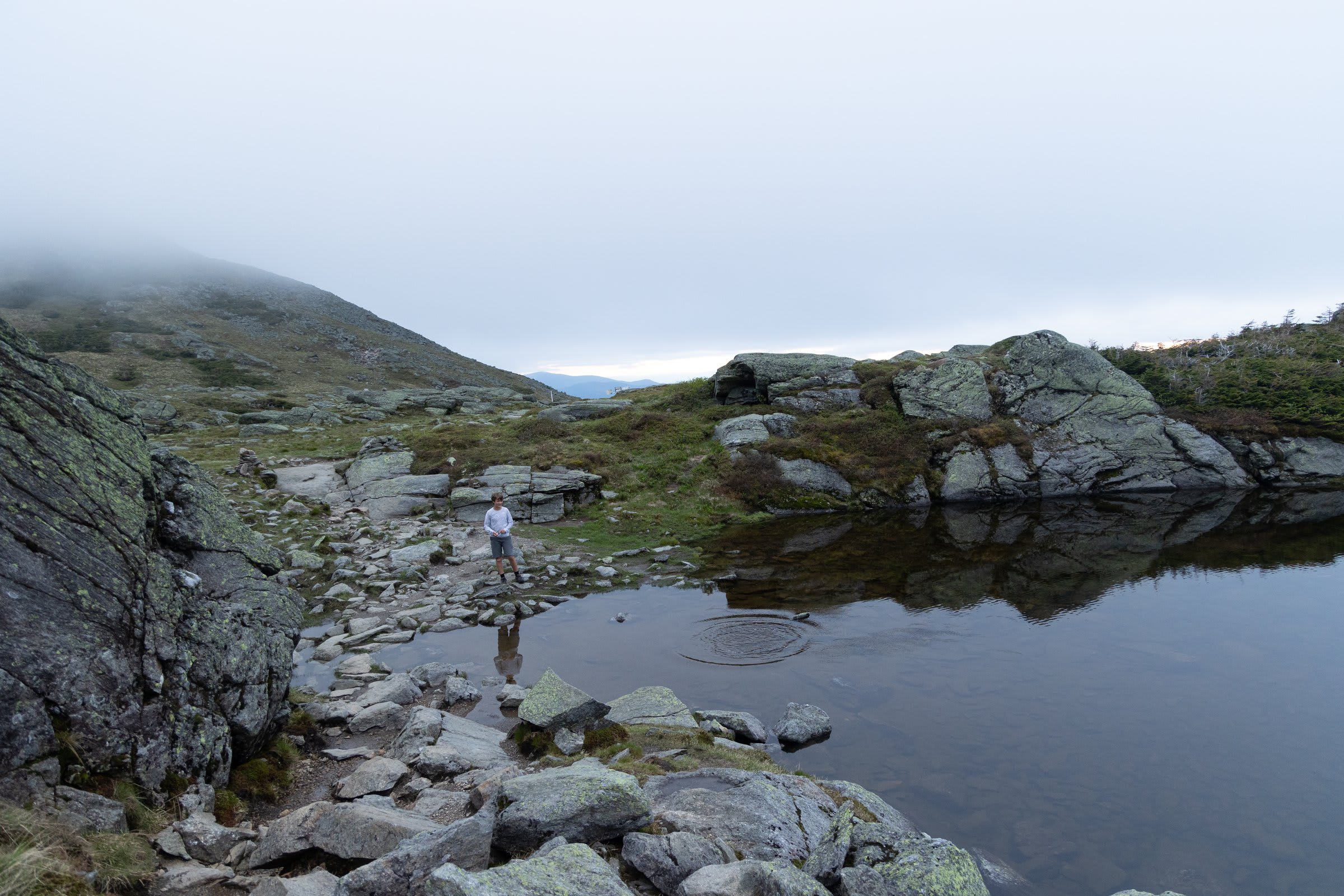
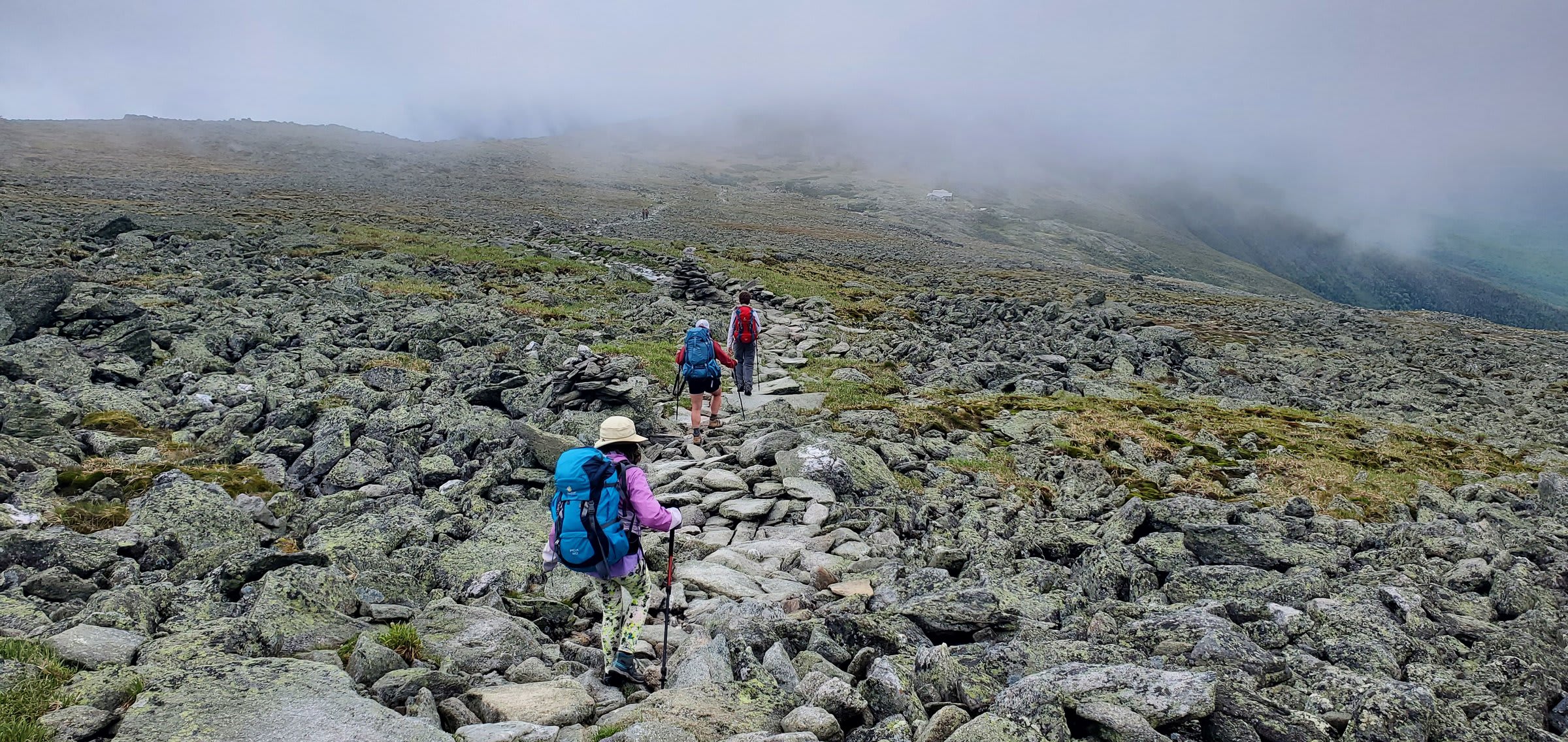
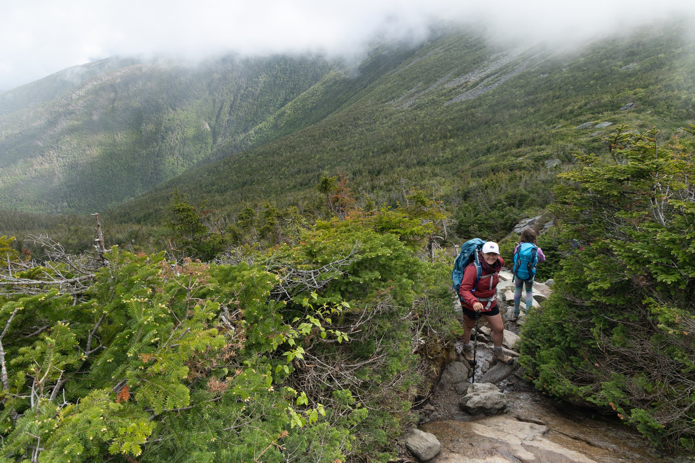
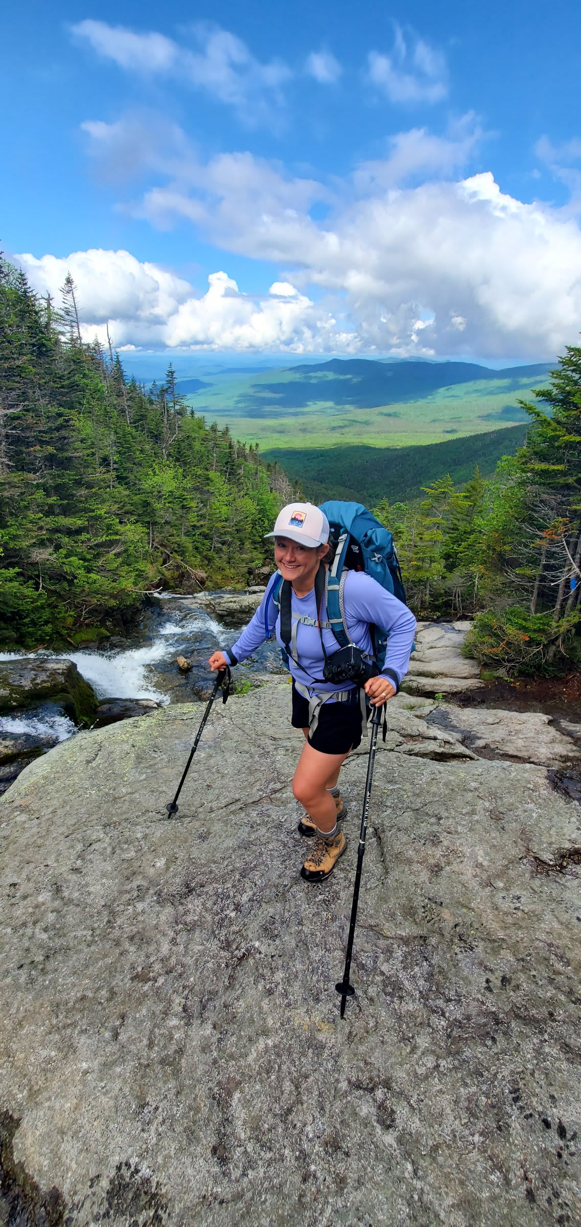
We started up the Jewell Trail, a steady climb that winds through forest before breaking out into the alpine zone. The transition from trees to tundra never gets old — that moment when the world opens up and suddenly you can see forever.
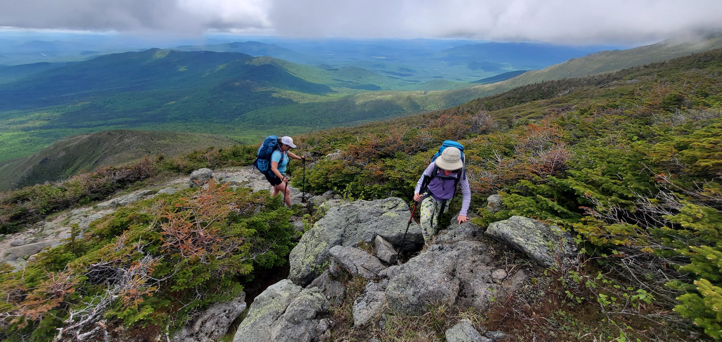
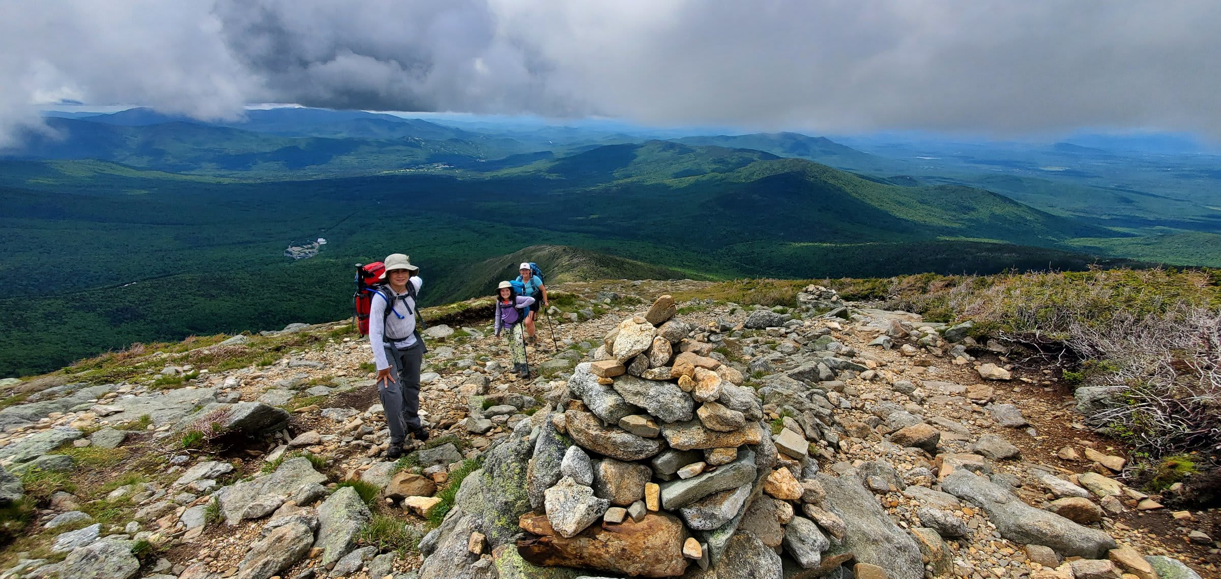
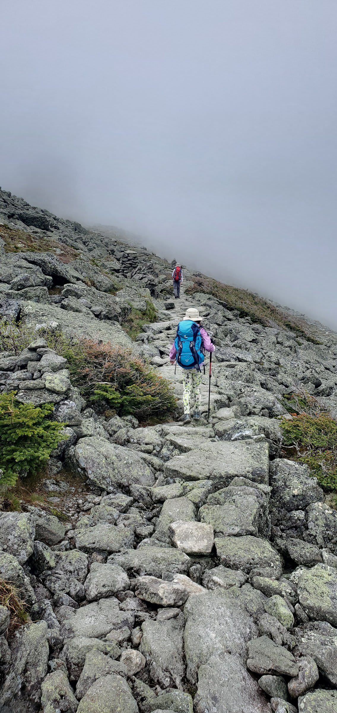
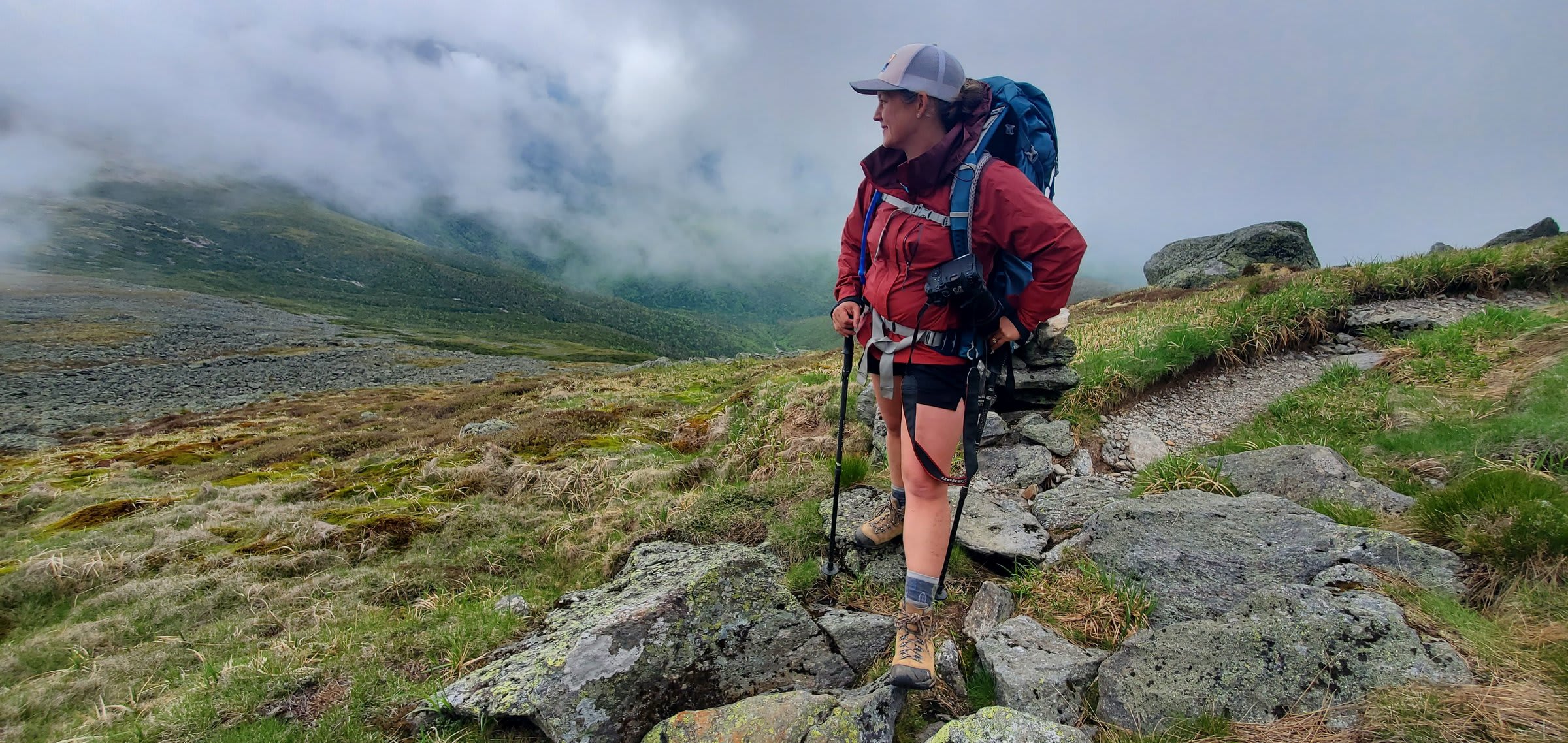
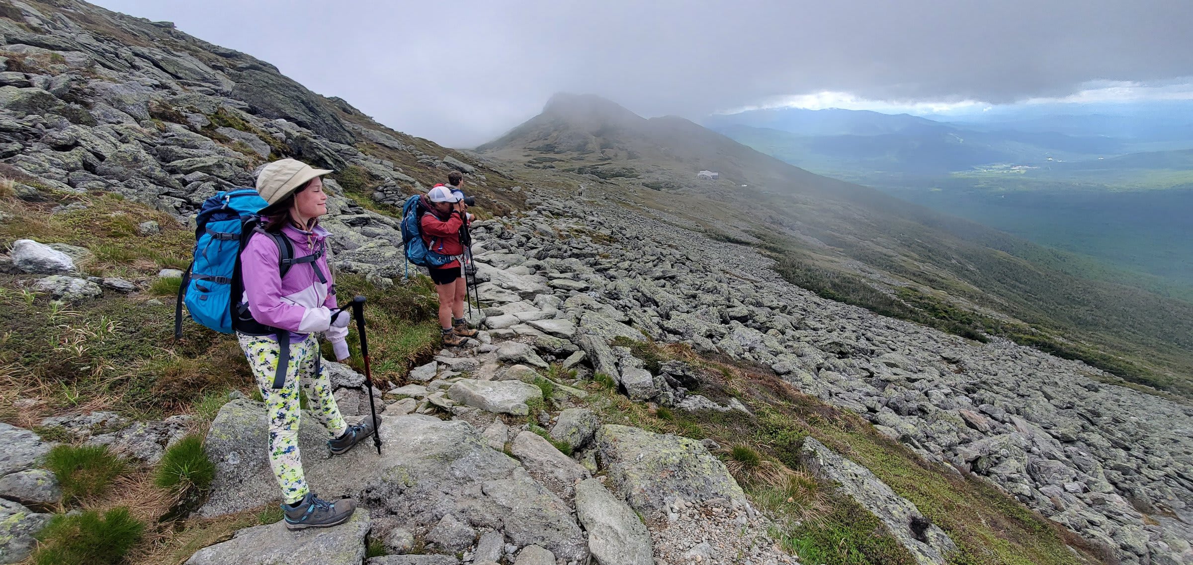
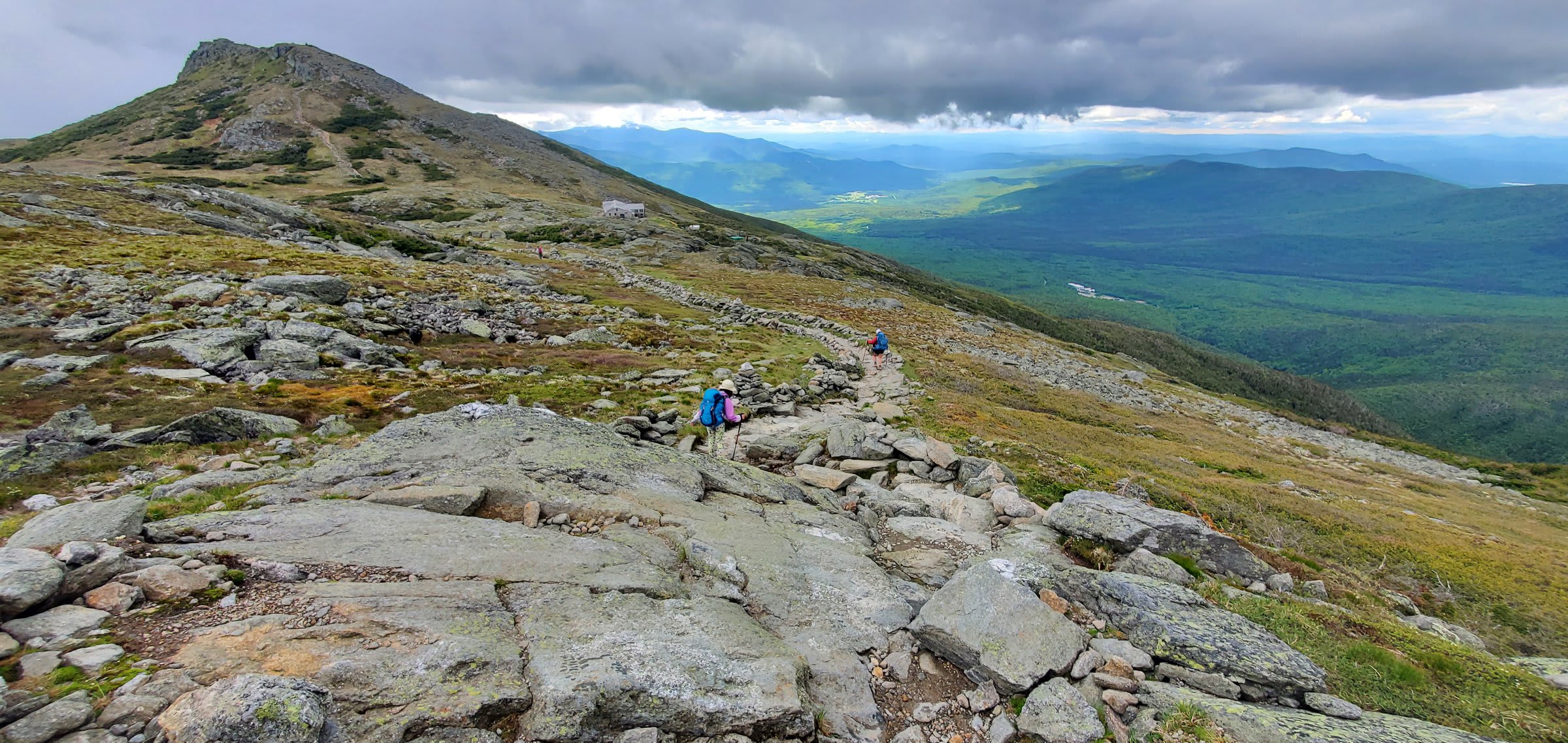
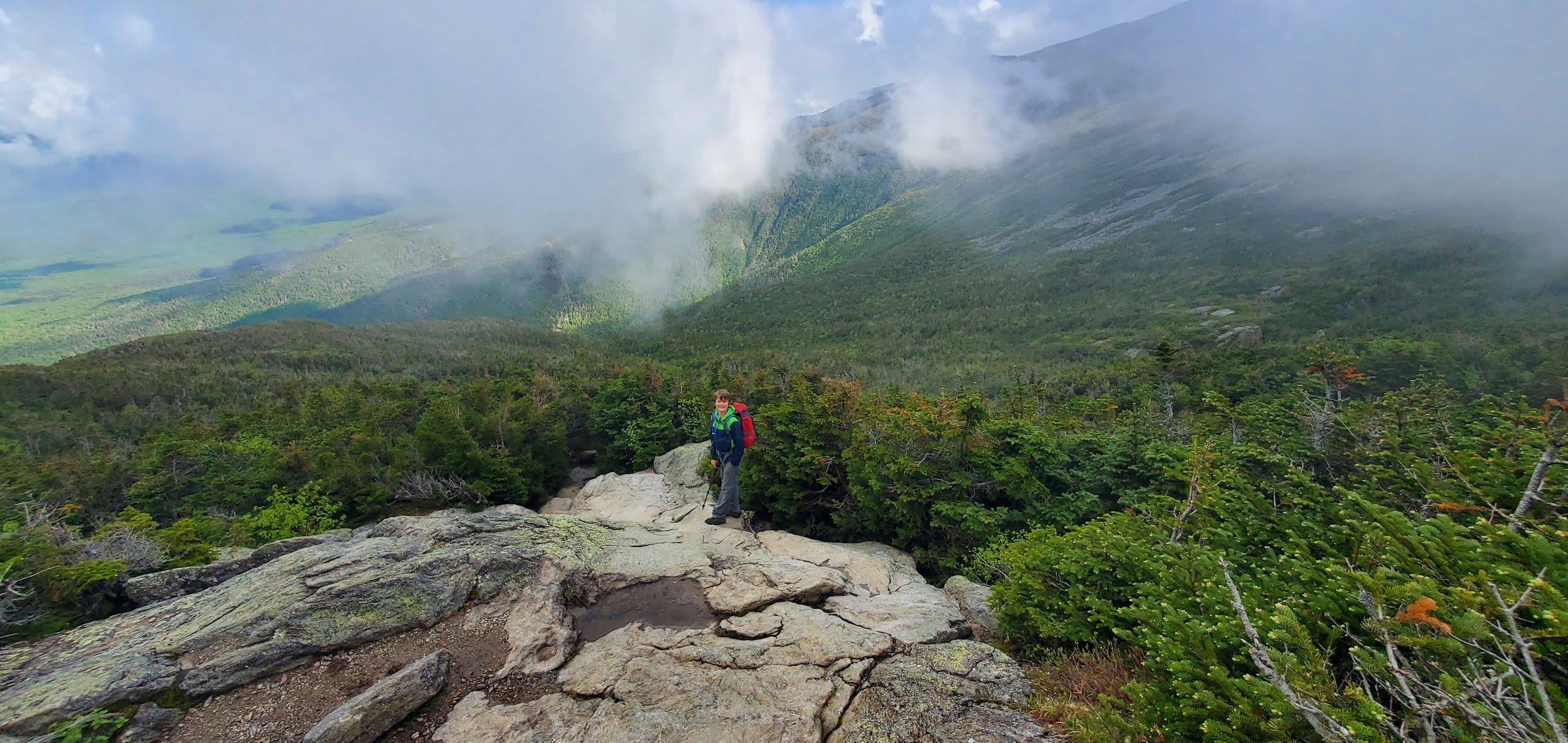
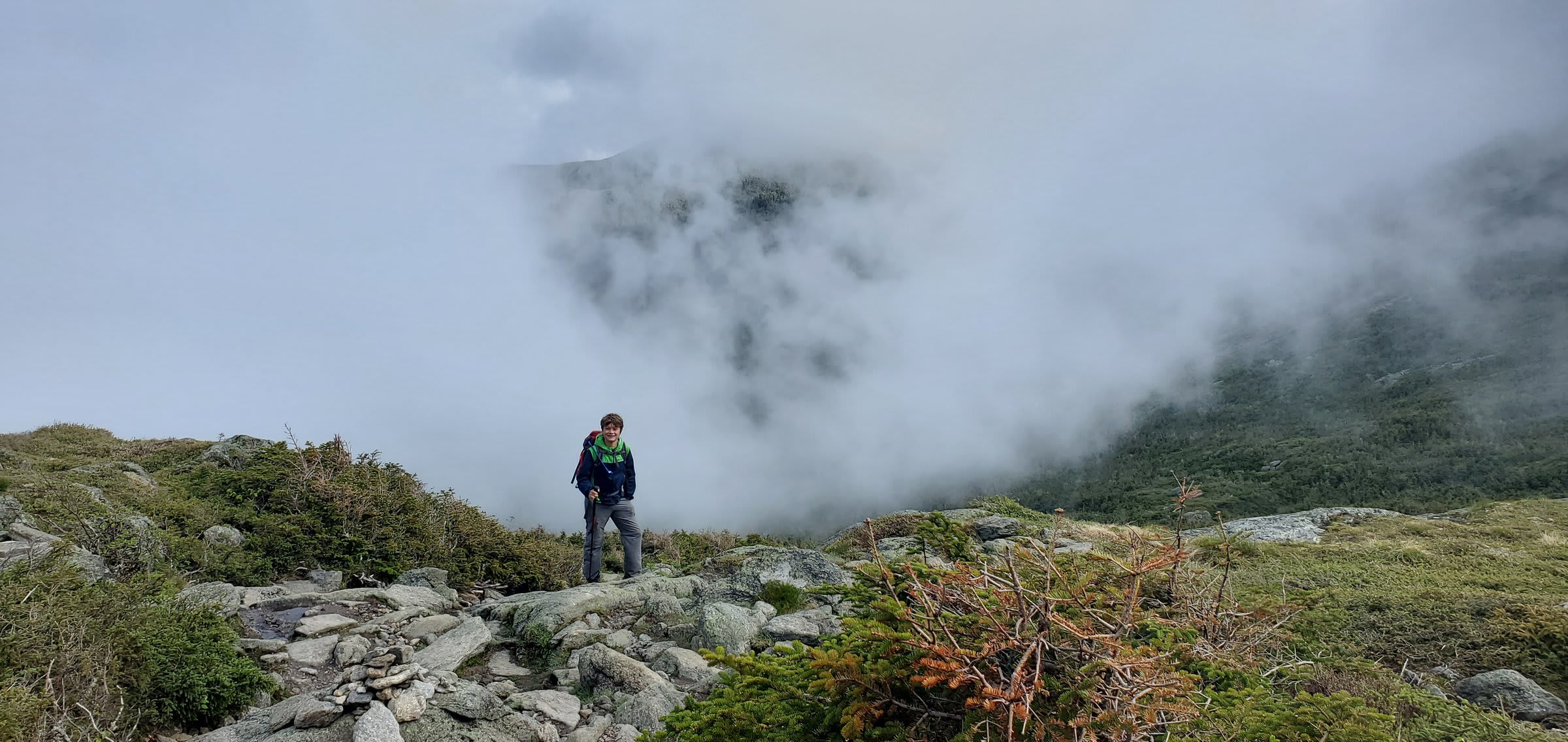
Connecting to the Crawford Path, we traversed along the ridge toward the hut. The Presidential Range demands respect — weather can turn fast up here, and the clouds rolled in and out as we climbed, swallowing the trail one minute and opening up endless views the next.
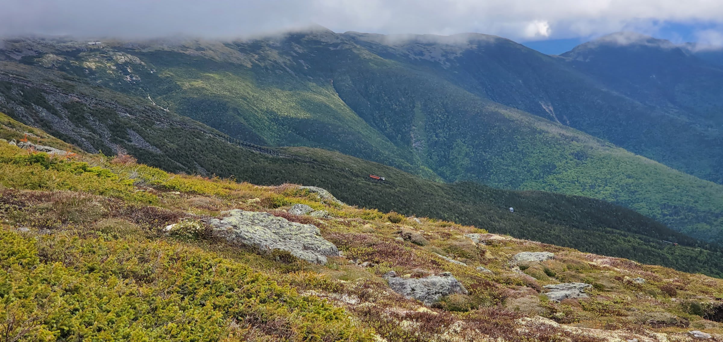
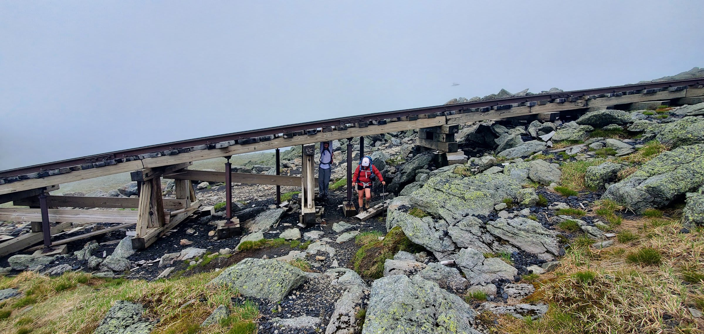
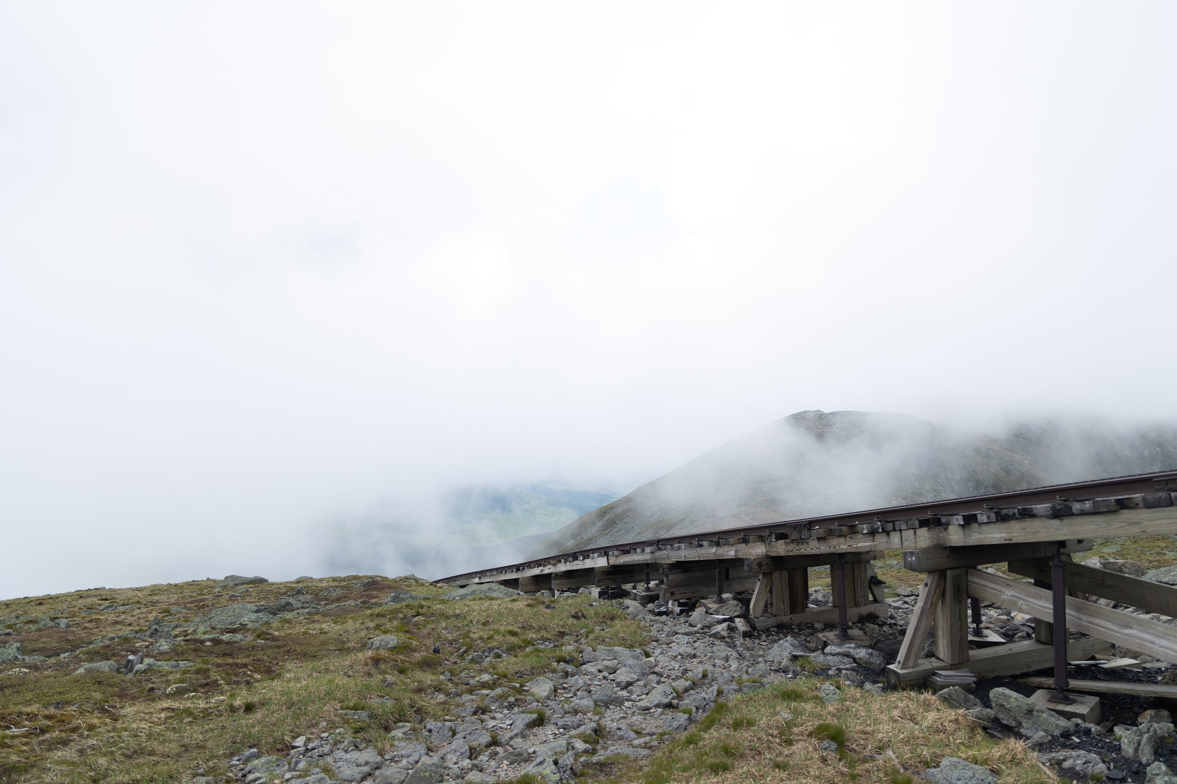
The Cog Railway climbs the western flank of Mt. Washington, and the trail ducks right under its trestle — a surreal bit of industrial history dropped into the middle of the alpine wilderness.
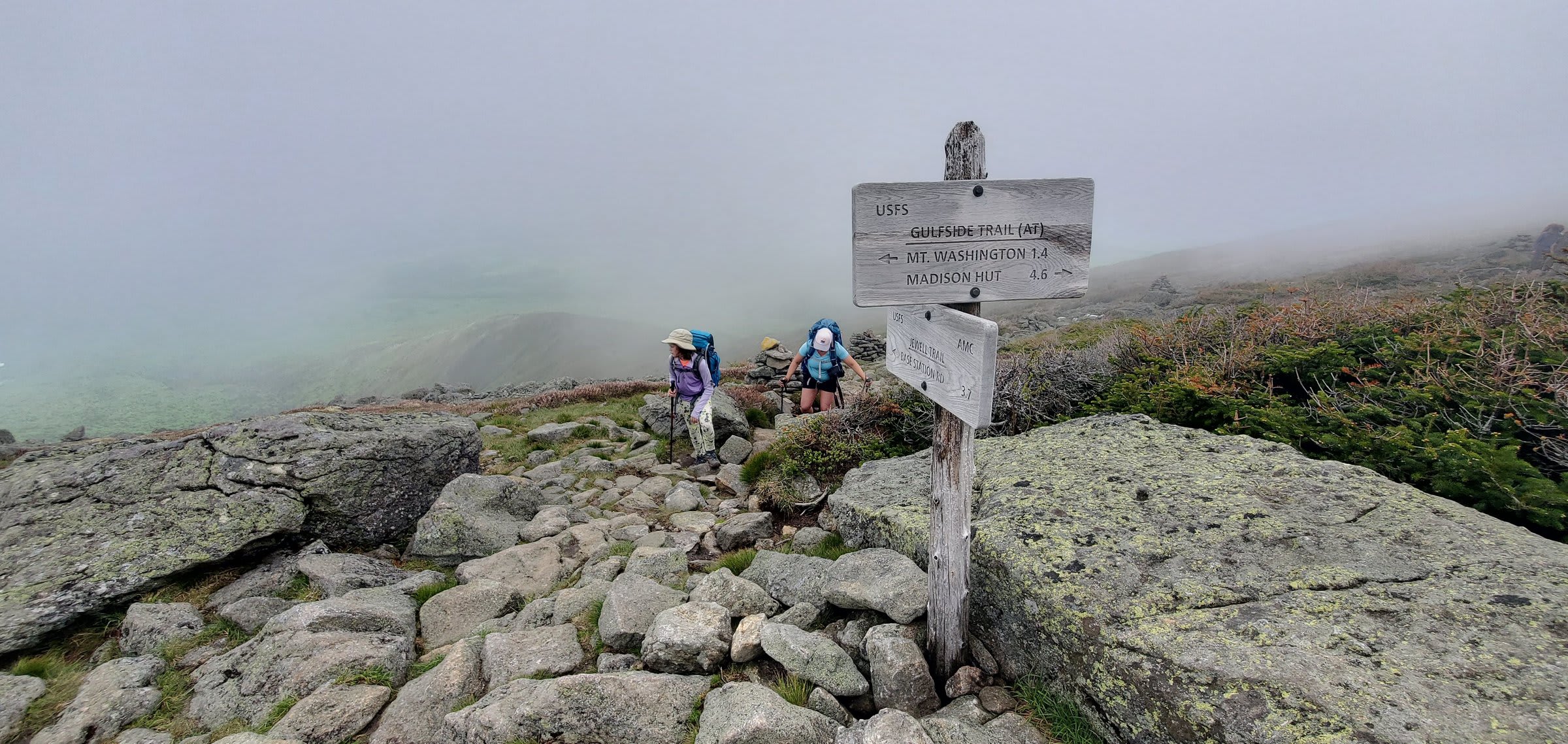
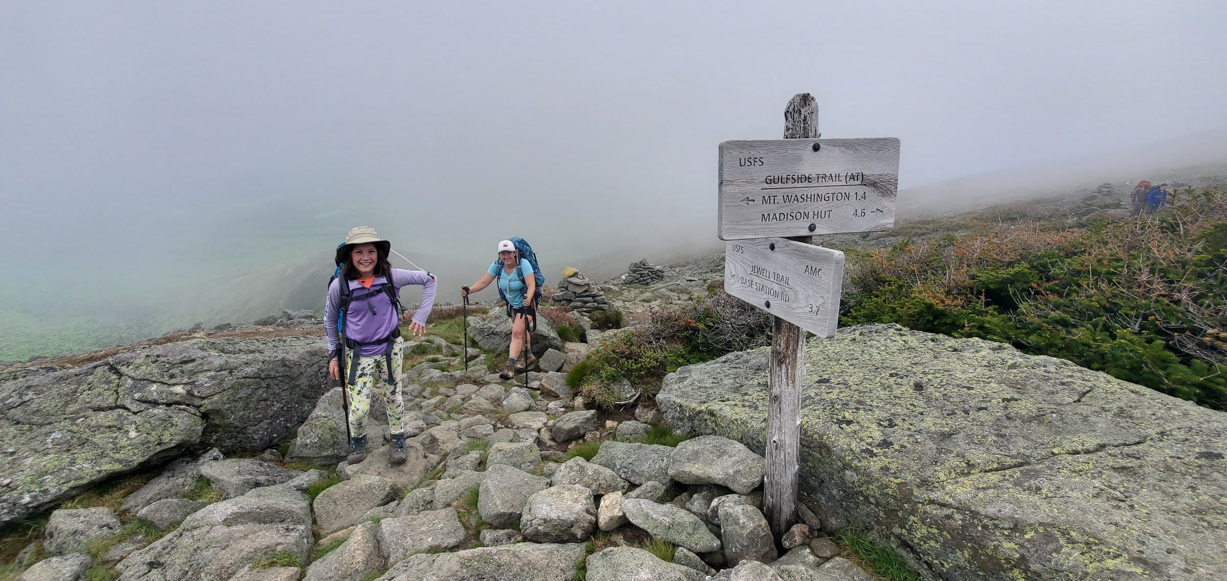
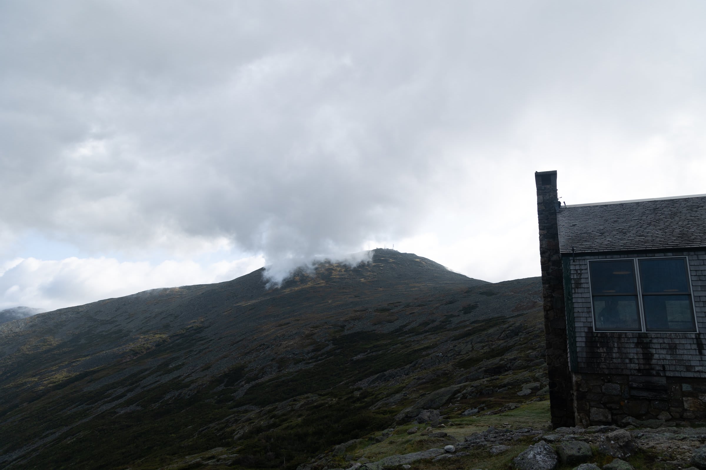
We passed the junction signs pointing off toward Mt. Washington and the far-flung huts, then put our heads down and climbed on into the mist.
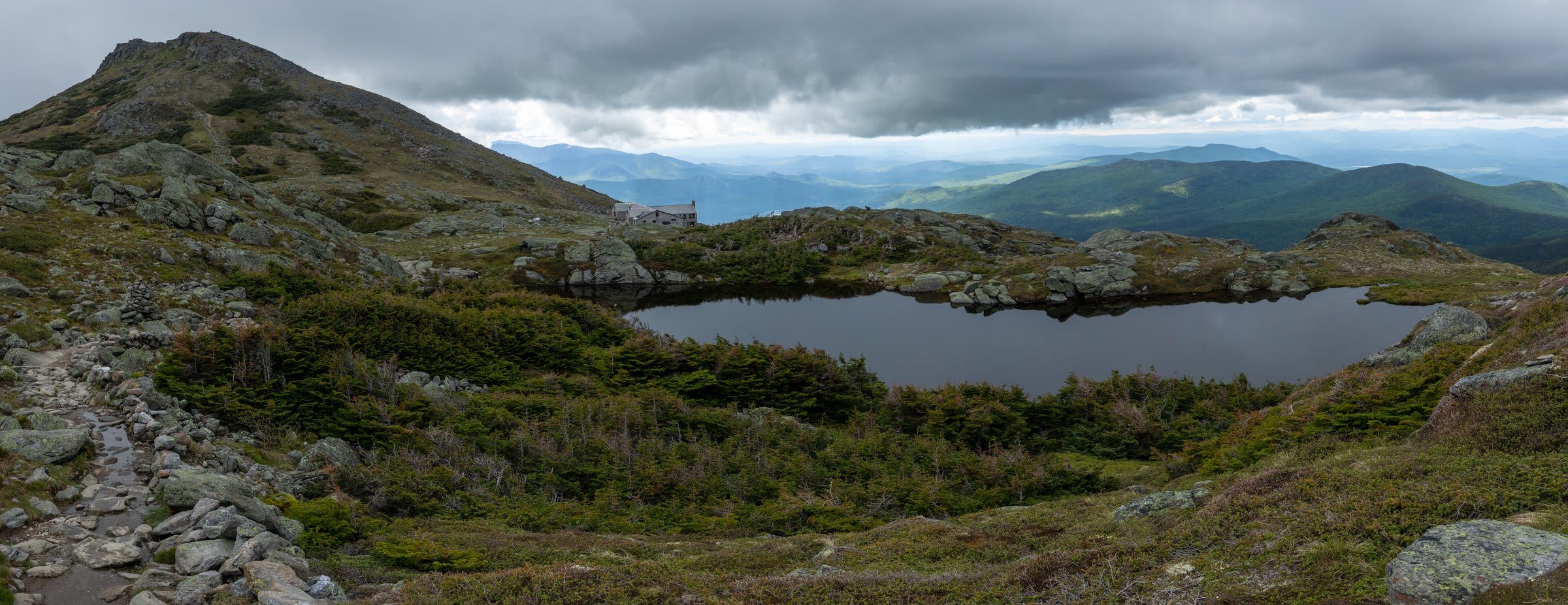
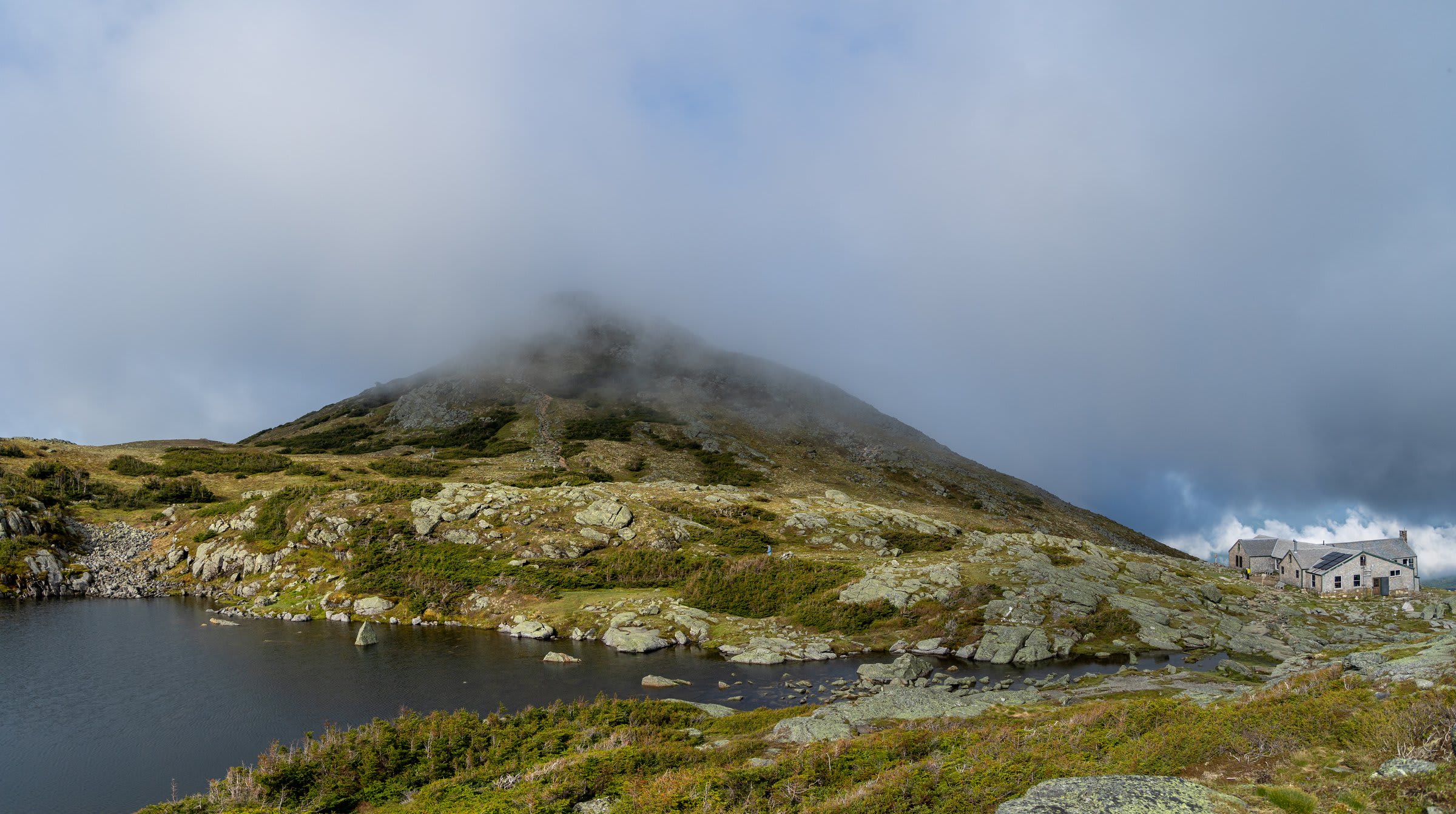
Then, just as the clouds began to lift, the ridge ahead revealed Mount Monroe — and tucked below it, our home for the night.
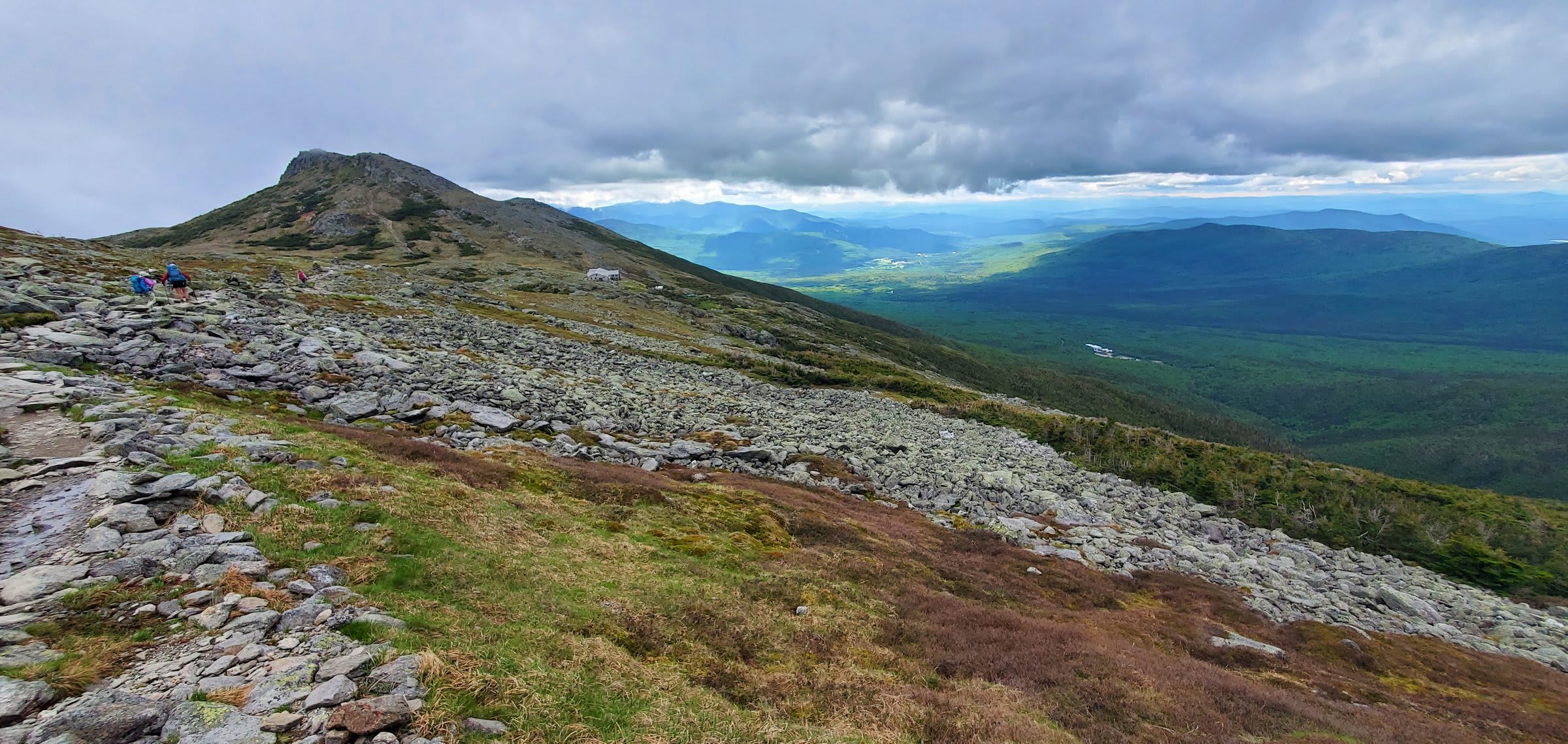
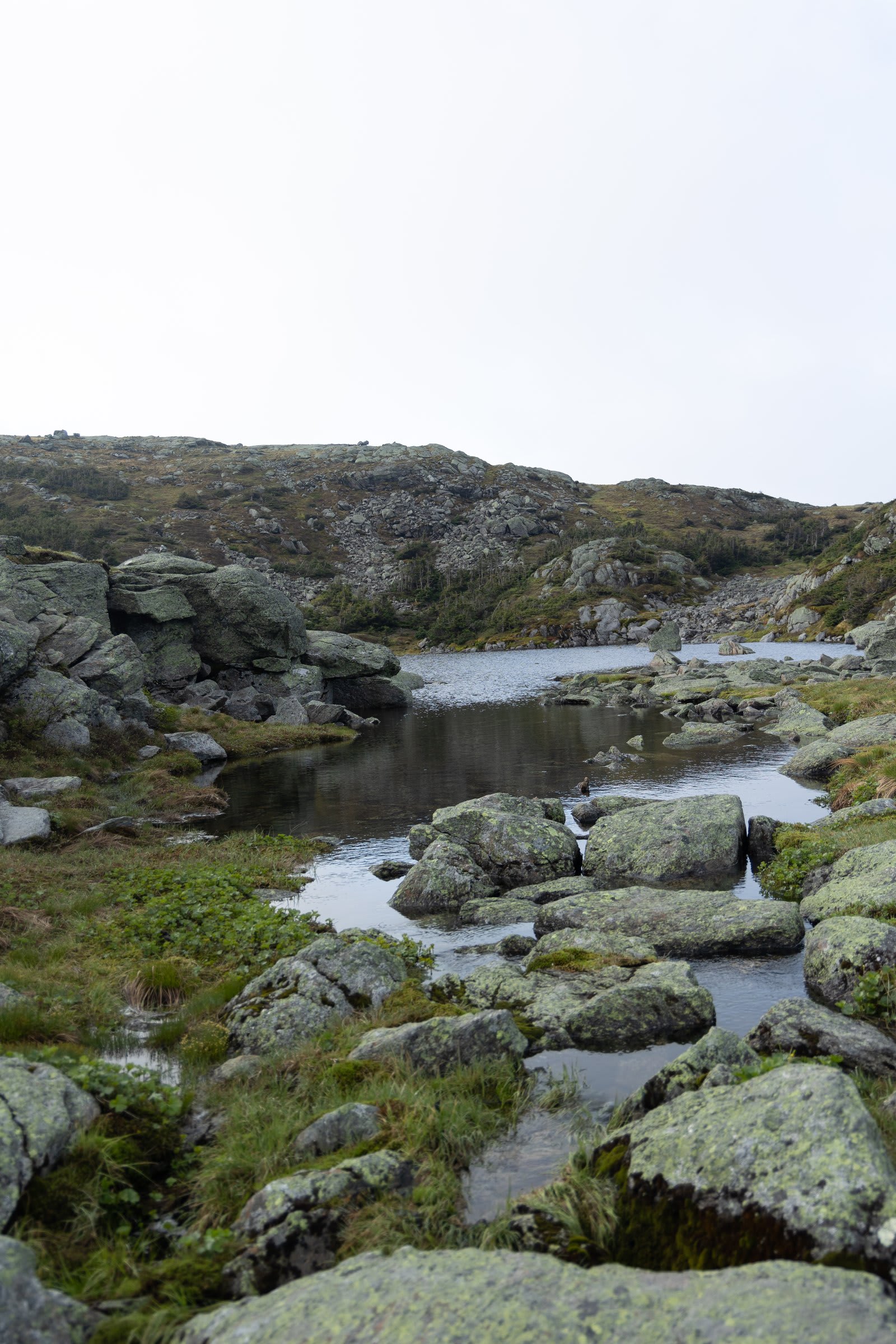
And then there it was: Lakes of the Clouds hut, sitting like a stone fortress against the alpine landscape, with its namesake lakes shimmering below.
Hut Life and the Legendary Croo
I have to talk about the Croo. Yes, that’s how they spell it, and yes, they’re as wonderful as the quirky spelling suggests. These are the people who live up at the hut for weeks at a time each season. Their only way in or out? Hiking. They’ll work for a week or two, hike down for their day off, then trudge right back up to do it all again.
They cook, they clean, and — this is key — they entertain. Dinner felt like summer camp for adults, complete with jokes, stories, and the kind of camaraderie that only happens when strangers share a meal above the clouds.
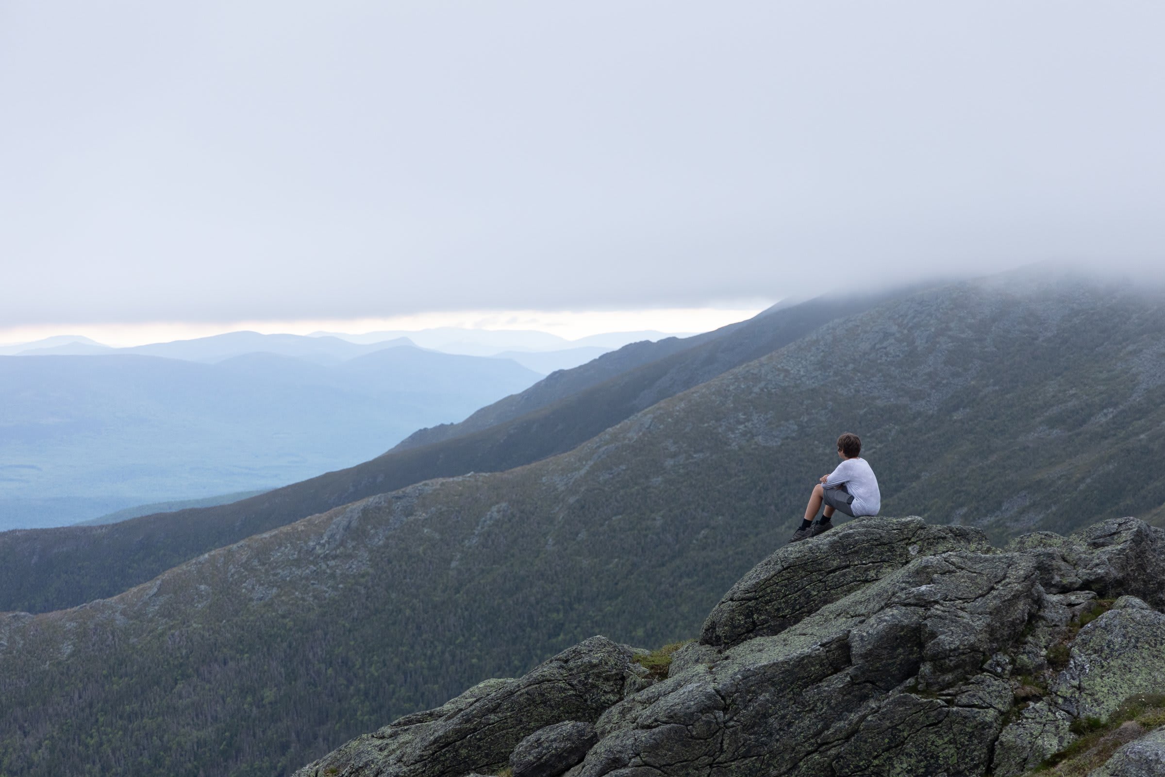
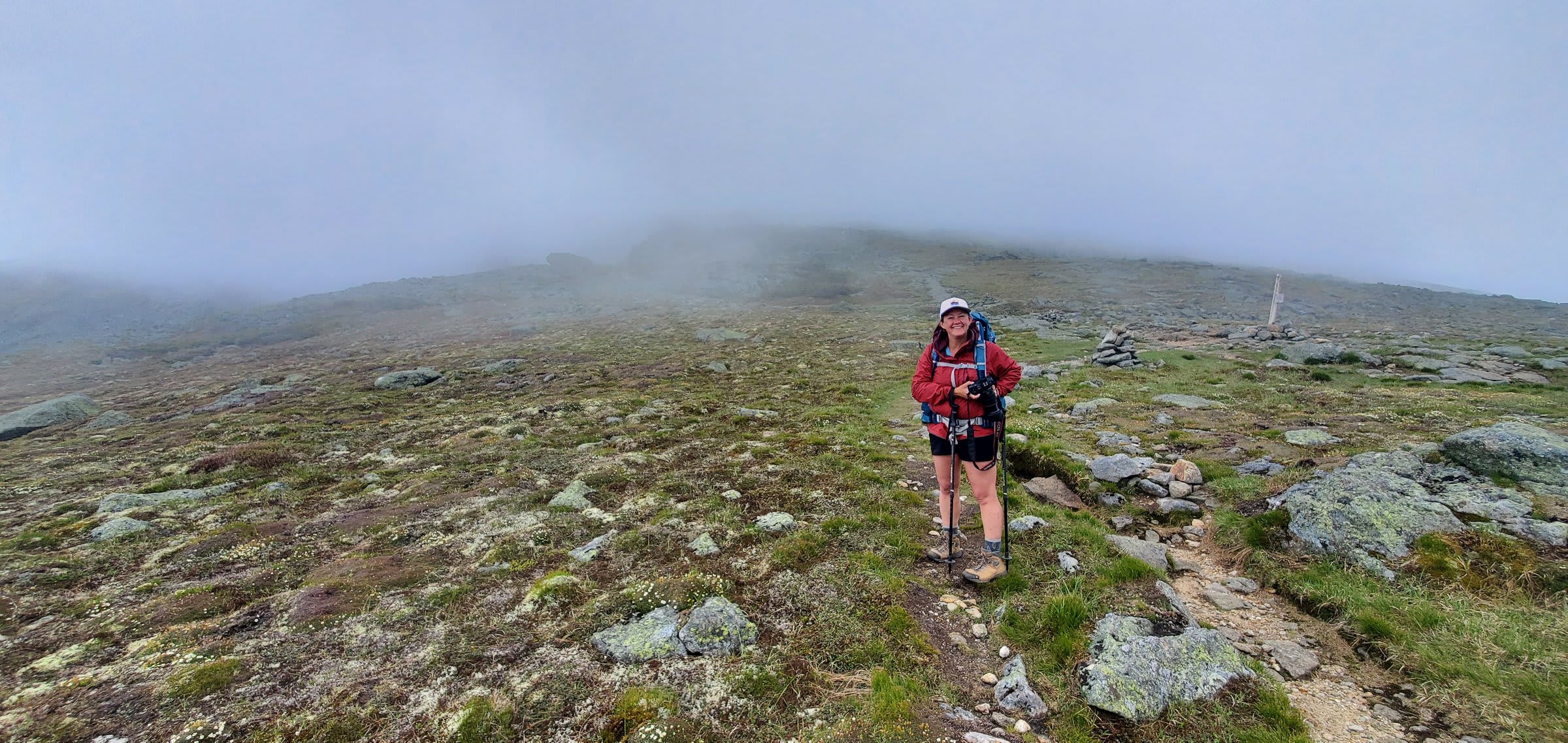
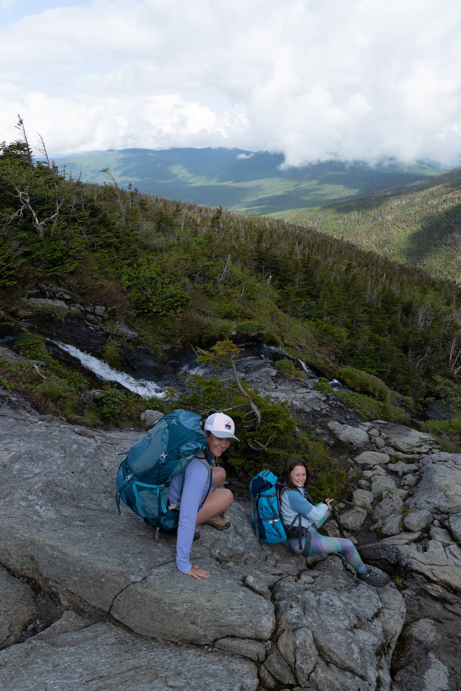
From the hut, the hiking options are endless. Mt. Washington sits just another mile up one way, while Big and Little Monroe beckon from the other direction. But honestly? Even just walking up to the rise above the hut rewards you with the most incredible view over the lakes. We spent the evening exploring, watching the light change over the alpine tundra, and feeling very, very small in the best possible way.
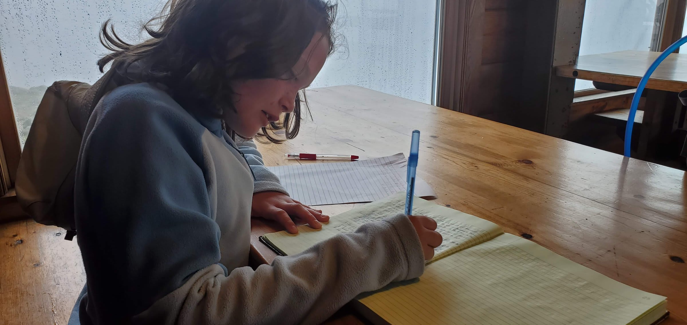
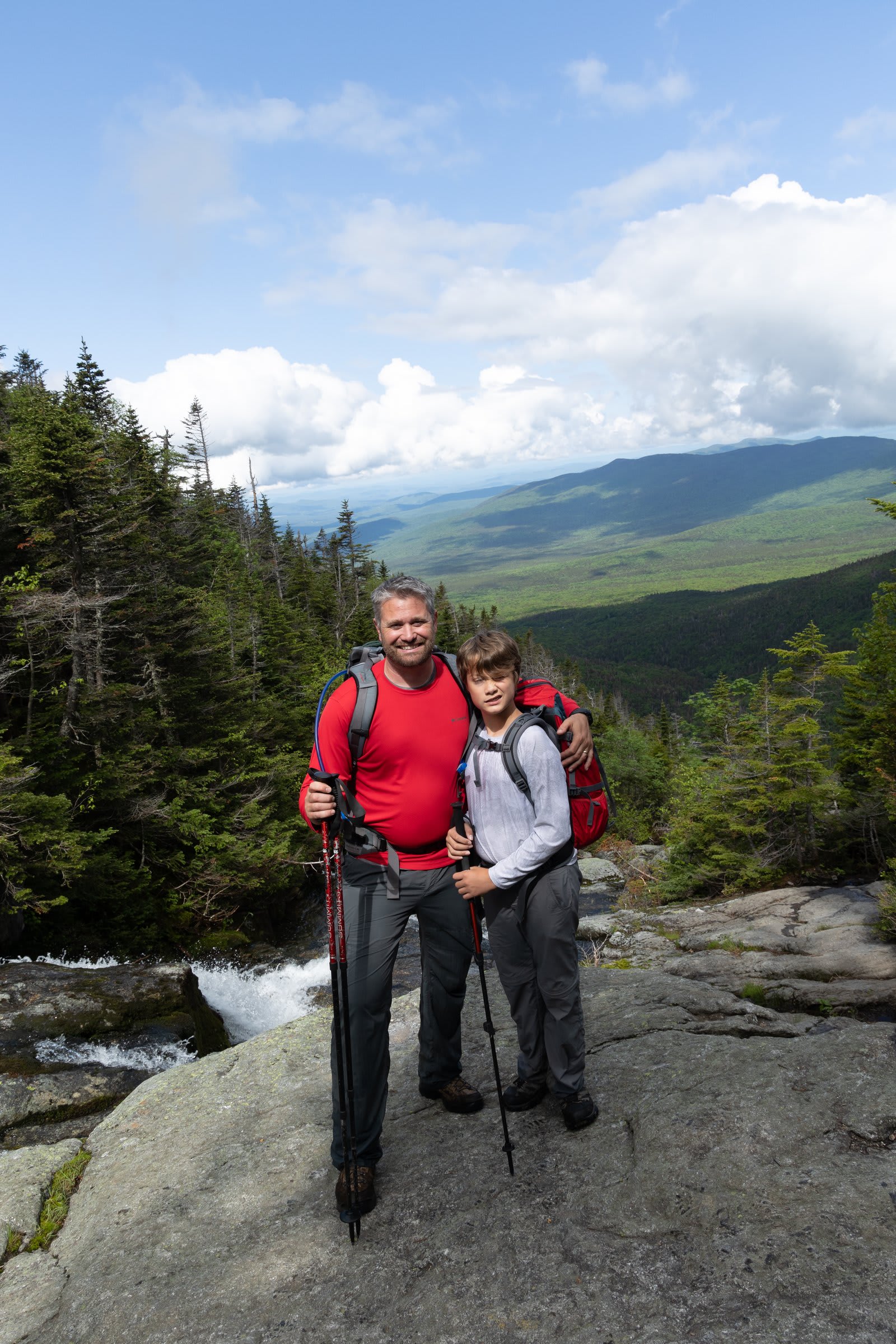
The next morning, after a hot breakfast, there was even time to linger — the kids signed the hut logbook while we packed up and steeled ourselves for the descent.
The Descent: Ammonoosuc Ravine Trail
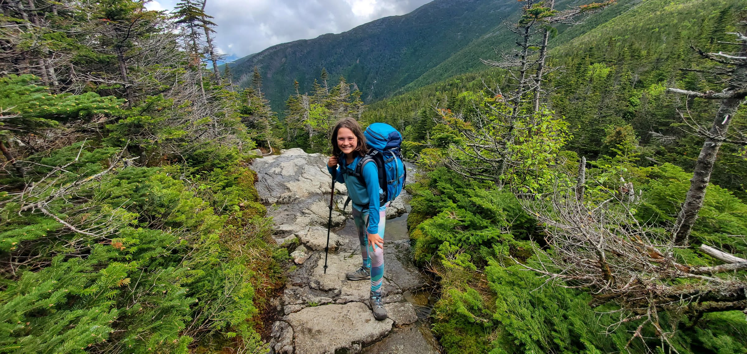
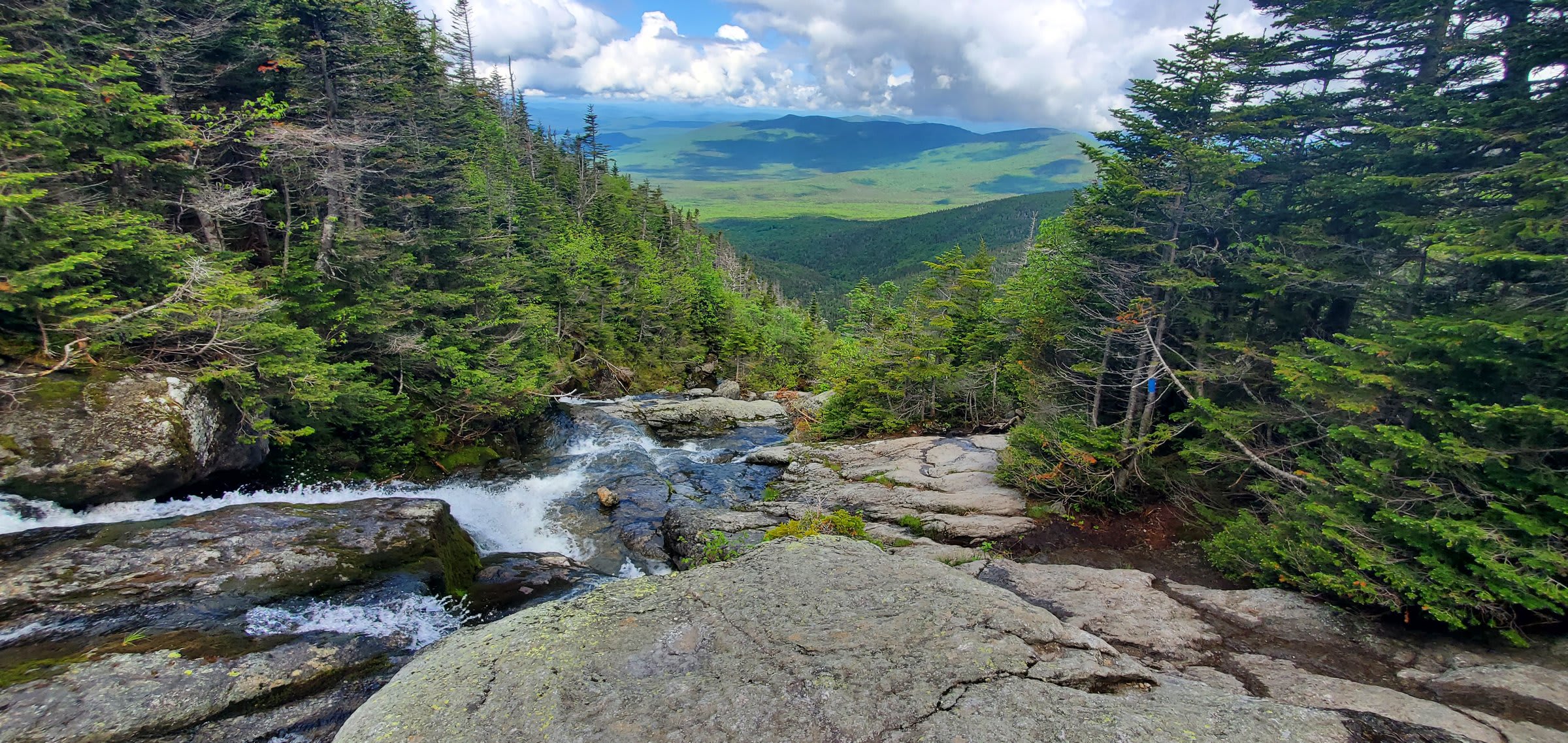
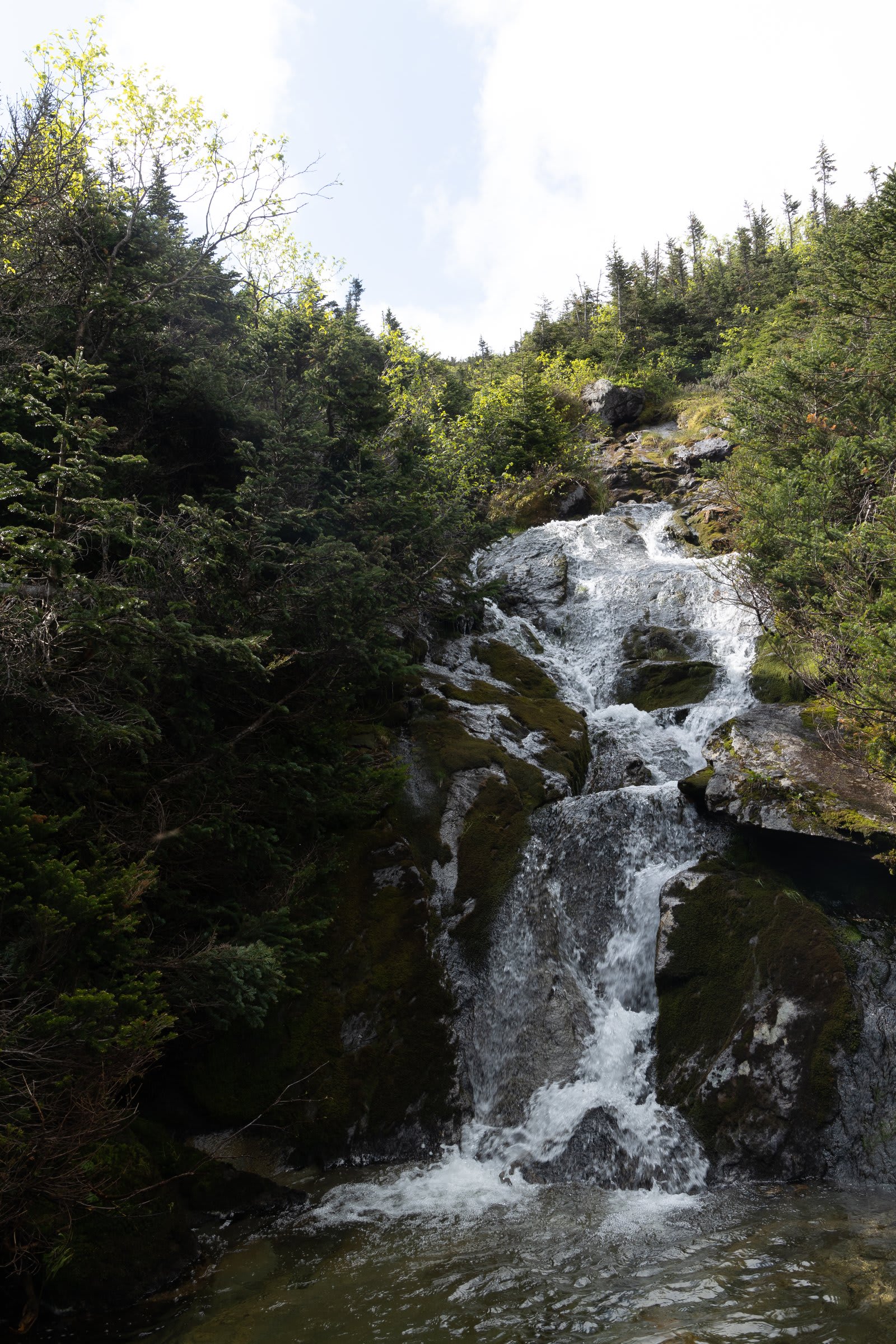
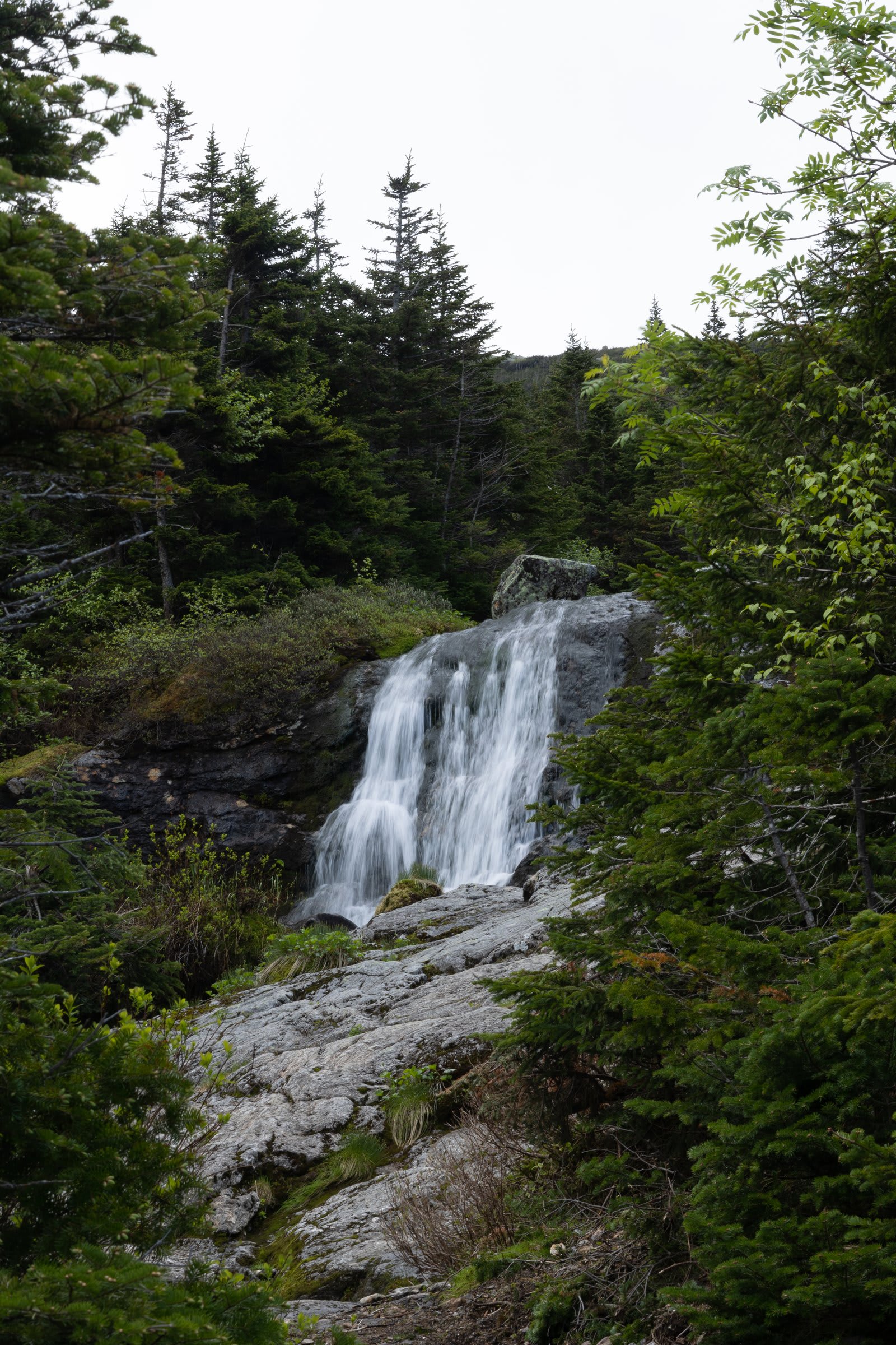
Okay, let’s talk about going down. The Ammonoosuc Ravine Trail is… something else. At 6.4 miles covering 2,782 vertical feet, the numbers alone tell you this isn’t a casual stroll. But the numbers don’t capture the full picture.
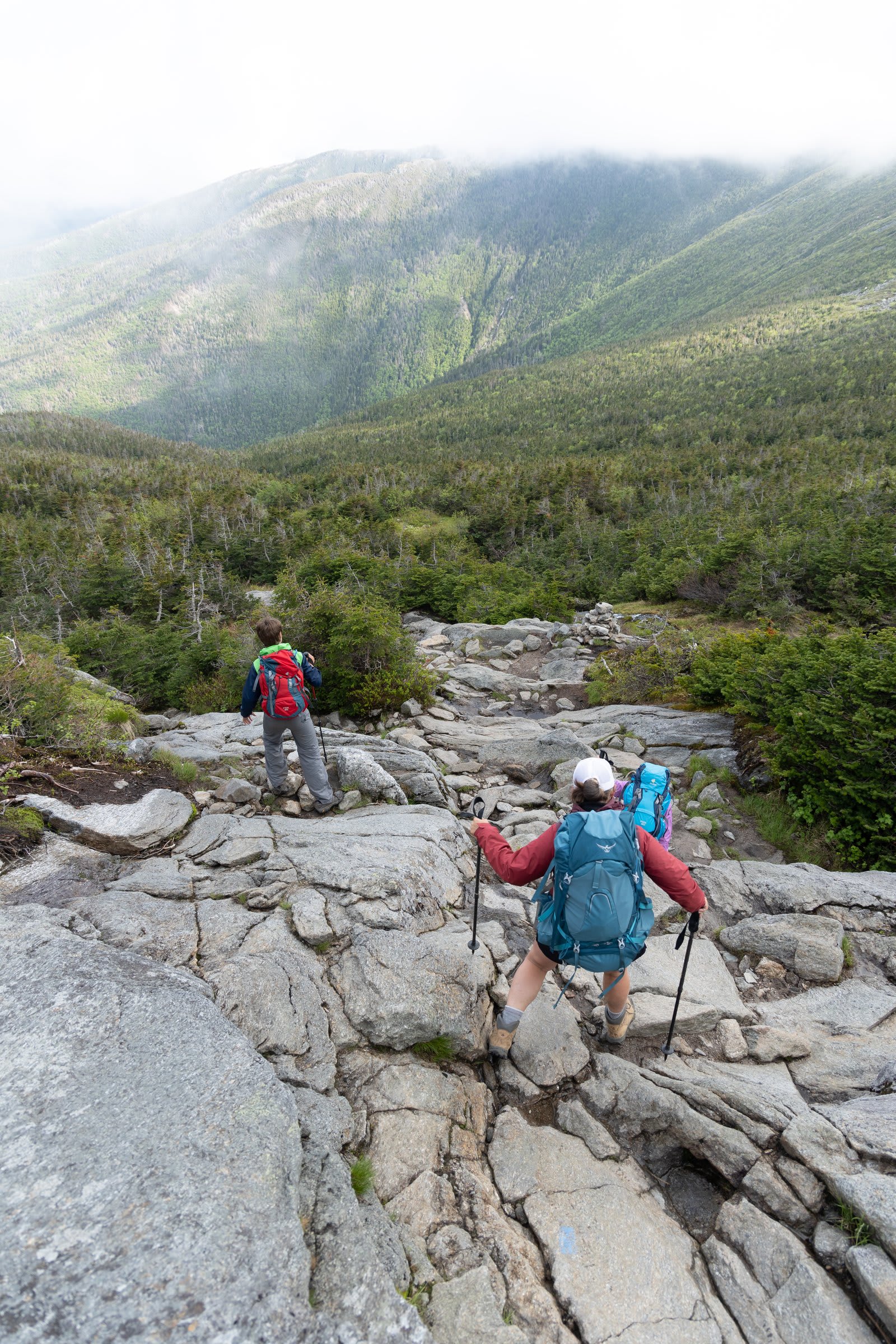
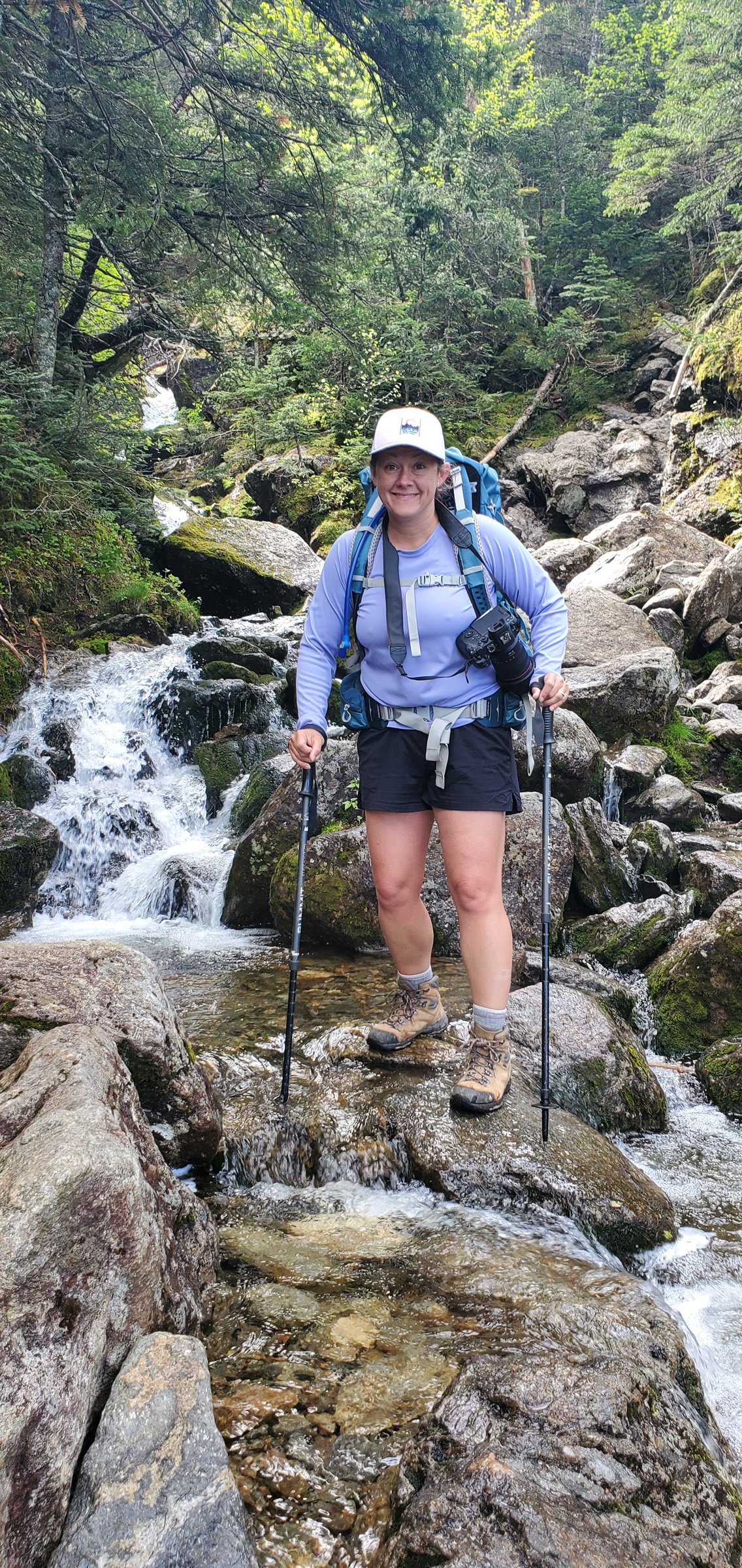
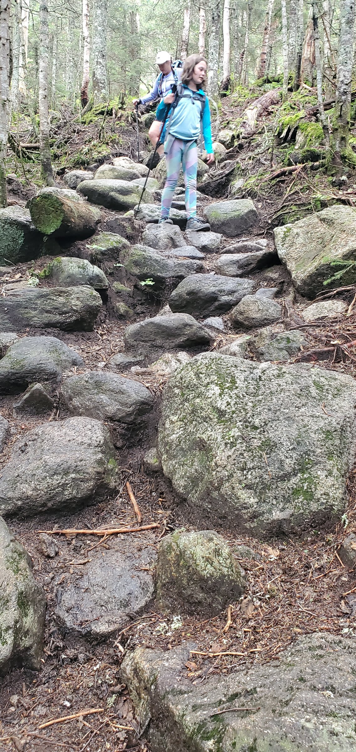
This trail goes straight down in places. In June, it was also running with water, turning sections into impromptu streams. We ended up scooting on our bums more than once, laughing at the absurdity of it all.

And the slugs. Oh, the slugs. There were so many that at one point we started collecting them — not for any particular reason, just because it made everyone laugh. Trail humor hits different when you’re sliding down wet rocks.
I kept thinking about the Croo members who hike this trail regularly. Up and down, week after week. These people are built different.

Views Worth Every Step
Despite the challenging descent — or maybe because of it — the views were absolutely stunning. Waterfalls cascaded alongside the trail, the forest grew thicker as we dropped elevation, and eventually we popped out at the trailhead, muddy and happy.
This loop — Jewell up, Ammonoosuc down — is one of the best ways to experience the Presidential Range without a car shuttle. It’s demanding, rewarding, and pairs perfectly with a night at Lakes of the Clouds.
Tips & Info
- Book early: AMC huts fill up fast, especially Lakes of the Clouds. Reserve at outdoors.org months in advance for summer weekends
- What’s included: Hot breakfast, hot dinner, and a bunk. Bring your own sleeping bag liner or rent one
- Room options: Choose between the communal bunkhouse or smaller private rooms for an additional cost
- Ammonoosuc Ravine Trail warning: This trail is no joke, especially when wet. Trekking poles are essential, and be prepared to scramble (or scoot)
- What to pack: Layer up — alpine weather is unpredictable. Pack light since the hut provides meals
- Day hikes from the hut: Summit Mt. Washington (1 mile), bag Monroe peaks, or simply explore the alpine zone
- Best time to go: Summer months (June-September), but expect crowds. Shoulder season offers quieter trails but check hut availability
- Trail stats:
- Jewell Trail to Crawford Path (ascent): ~5 miles
- Ammonoosuc Ravine Trail (descent): 6.4 miles, 2,782 ft elevation loss
- The Croo: Tip them generously if you can — they work incredibly hard in a challenging environment